Where is Ellis County, Kansas?
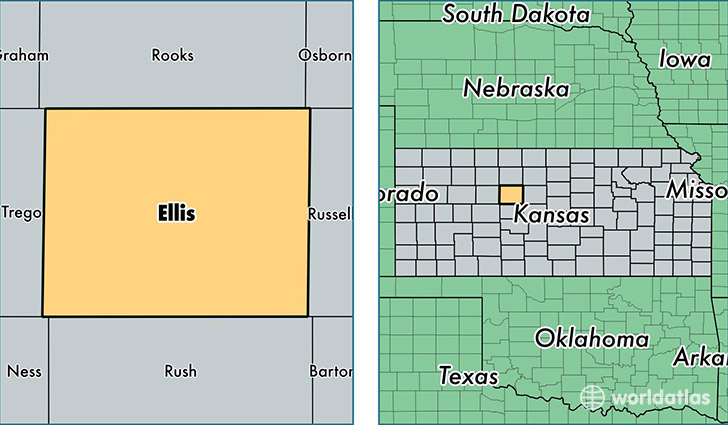
Ellis County is a county equivalent area found in Kansas, USA. The county government of Ellis is found in the county seat of Hays.
With a total 2,331.96 sq. km of land and water area, Ellis County, Kansas is the 966th largest county equivalent area in the United States. Home to 29,013 people, Ellis County has a total 12978 households earning 43085 on average per year.
Ellis County, Kansas - Quick Facts
| FIPS Code | 20051 |
| Area Codes | 785 |
| Time Zone | CST |
| Major Cities | Hays (population: 24,299), Ellis (population: 2,701), Victoria (population: 1,750), Schoenchen (population: 208), Pfeifer (population: 82), Walker (population: 56) |
| Land Area | 11,202 sq miles |
| Water Area | 900 sq miles |
| Household Income | $43,085 |
| Housing Units | 12,978 |
| Median Home Value | $138,400 |
| High School Grads | 93% of population |
| Holders of Bachelors Degrees | 32% of population |
| Retail Spending | $18,264 per capita |
| Food & Accomodation Sales | $72,165 per capita |
This page was last updated on June 30, 2016.