Where is Phillips County, Kansas?
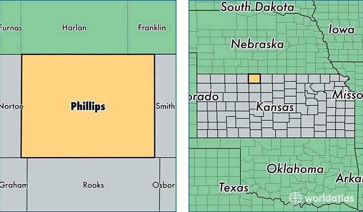
Phillips County is a county equivalent area found in Kansas, USA. The county government of Phillips is found in the county seat of Phillipsburg.
With a total 2,316.89 sq. km of land and water area, Phillips County, Kansas is the 988th largest county equivalent area in the United States. Home to 5,533 people, Phillips County has a total 3037 households earning 43059 on average per year.
Phillips County, Kansas - Quick Facts
| FIPS Code | 20147 |
| Area Codes | 785 |
| Time Zone | CST |
| Major Cities | Phillipsburg (population: 3,407), Logan (population: 702), Agra (population: 384), Prairie View (population: 298), Kirwin (population: 258), Long Island (population: 250), Glade (population: 188) |
| Land Area | 2,136 sq miles |
| Water Area | 886 sq miles |
| Household Income | $43,059 |
| Housing Units | 3,037 |
| Median Home Value | $64,400 |
| High School Grads | 92% of population |
| Holders of Bachelors Degrees | 18% of population |
| Retail Spending | $8,776 per capita |
| Food & Accomodation Sales | $3,679 per capita |
This page was last updated on June 30, 2016.