Where is Osborne County, Kansas?
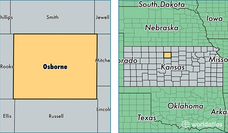
Osborne County is a county equivalent area found in Kansas, USA. The county government of Osborne is found in the county seat of Osborne.
With a total 2,316.38 sq. km of land and water area, Osborne County, Kansas is the 989th largest county equivalent area in the United States. Home to 3,756 people, Osborne County has a total 2186 households earning 37925 on average per year.
Osborne County, Kansas - Quick Facts
| FIPS Code | 20141 |
| Area Codes | 785 |
| Time Zone | CST |
| Major Cities | Osborne (population: 1,704), Downs (population: 1,144), Natoma (population: 502), Alton (population: 266), Portis (population: 220) |
| Land Area | 1,450 sq miles |
| Water Area | 893 sq miles |
| Household Income | $37,925 |
| Housing Units | 2,186 |
| Median Home Value | $51,200 |
| High School Grads | 89% of population |
| Holders of Bachelors Degrees | 18% of population |
| Retail Spending | $10,001 per capita |
| Food & Accomodation Sales | $1,421 per capita |
This page was last updated on June 30, 2016.