Where is Reno County, Kansas?
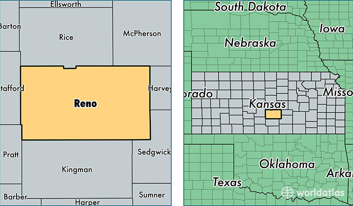
Reno County is a county equivalent area found in Kansas, USA. The county government of Reno is found in the county seat of Hutchinson.
With a total 3,294.75 sq. km of land and water area, Reno County, Kansas is the 542nd largest county equivalent area in the United States. Home to 63,794 people, Reno County has a total 28168 households earning 43798 on average per year.
Reno County, Kansas - Quick Facts
| FIPS Code | 20155 |
| Area Codes | 620 |
| Time Zone | CST |
| Major Cities | Hutchinson (population: 50,892), South Hutchinson (population: 2,454), Haven (population: 2,122), Buhler (population: 2,047), Nickerson (population: 1,536), Pretty Prairie (population: 1,336), Turon (population: 1,023), Arlington (population: 764), Partridge (population: 649), Sylvia (population: 415) |
| Land Area | 24,631 sq miles |
| Water Area | 1,255 sq miles |
| Household Income | $43,798 |
| Housing Units | 28,168 |
| Median Home Value | $90,600 |
| High School Grads | 89% of population |
| Holders of Bachelors Degrees | 20% of population |
| Retail Spending | $13,150 per capita |
| Food & Accomodation Sales | $83,362 per capita |
This page was last updated on June 30, 2016.