Where is Pratt County, Kansas?
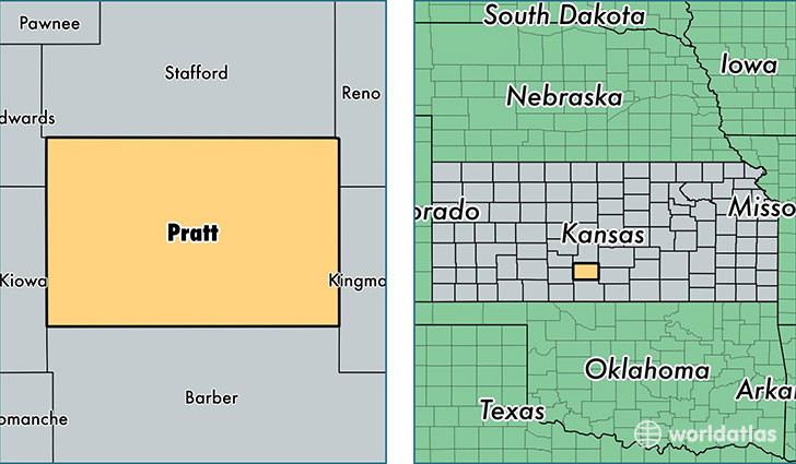
Pratt County is a county equivalent area found in Kansas, USA. The county government of Pratt is found in the county seat of Pratt.
With a total 1,905.51 sq. km of land and water area, Pratt County, Kansas is the 1310th largest county equivalent area in the United States. Home to 9,850 people, Pratt County has a total 4475 households earning 46035 on average per year.
Pratt County, Kansas - Quick Facts
| FIPS Code | 20151 |
| Area Codes | 620 |
| Time Zone | CST |
| Major Cities | Pratt (population: 8,264), Sawyer (population: 422), Iuka (population: 304), Coats (population: 225), Byers (population: 65) |
| Land Area | 3,803 sq miles |
| Water Area | 735 sq miles |
| Household Income | $46,035 |
| Housing Units | 4,475 |
| Median Home Value | $79,000 |
| High School Grads | 89% of population |
| Holders of Bachelors Degrees | 23% of population |
| Retail Spending | $18,089 per capita |
| Food & Accomodation Sales | $15,023 per capita |
This page was last updated on June 30, 2016.