Where is Stafford County, Kansas?
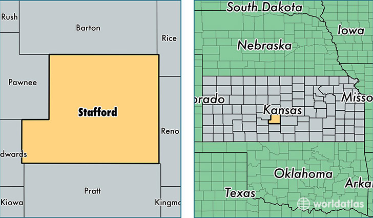
Stafford County is a county equivalent area found in Kansas, USA. The county government of Stafford is found in the county seat of Saint John.
With a total 2,058.83 sq. km of land and water area, Stafford County, Kansas is the 1190th largest county equivalent area in the United States. Home to 4,297 people, Stafford County has a total 2304 households earning 43292 on average per year.
Stafford County, Kansas - Quick Facts
| FIPS Code | 20185 |
| Area Codes | 620 |
| Time Zone | CST |
| Major Cities | Saint John (population: 1,880), Stafford (population: 1,379), Macksville (population: 710), Hudson (population: 211) |
| Land Area | 1,659 sq miles |
| Water Area | 792 sq miles |
| Household Income | $43,292 |
| Housing Units | 2,304 |
| Median Home Value | $60,900 |
| High School Grads | 88% of population |
| Holders of Bachelors Degrees | 19% of population |
| Retail Spending | $3,613 per capita |
| Food & Accomodation Sales | $1,152 per capita |
This page was last updated on June 30, 2016.