Where is Rice County, Kansas?
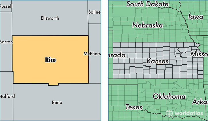
Rice County is a county equivalent area found in Kansas, USA. The county government of Rice is found in the county seat of Lyons.
With a total 1,885.42 sq. km of land and water area, Rice County, Kansas is the 1329th largest county equivalent area in the United States. Home to 10,015 people, Rice County has a total 4542 households earning 45336 on average per year.
Rice County, Kansas - Quick Facts
| FIPS Code | 20159 |
| Area Codes | 620 |
| Time Zone | CST |
| Major Cities | Lyons (population: 4,291), Sterling (population: 3,067), Little River (population: 869), Chase (population: 623), Geneseo (population: 523), Bushton (population: 404), Alden (population: 231), Raymond (population: 168) |
| Land Area | 3,867 sq miles |
| Water Area | 726 sq miles |
| Household Income | $45,336 |
| Housing Units | 4,542 |
| Median Home Value | $74,200 |
| High School Grads | 90% of population |
| Holders of Bachelors Degrees | 21% of population |
| Retail Spending | $4,671 per capita |
| Food & Accomodation Sales | $6,640 per capita |
This page was last updated on June 30, 2016.