Where is Sedgwick County, Kansas?
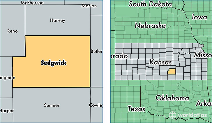
Sedgwick County is a county equivalent area found in Kansas, USA. The county government of Sedgwick is found in the county seat of Wichita.
With a total 2,613.61 sq. km of land and water area, Sedgwick County, Kansas is the 757th largest county equivalent area in the United States. Home to 508,803 people, Sedgwick County has a total 213024 households earning 49865 on average per year.
Sedgwick County, Kansas - Quick Facts
| FIPS Code | 20173 |
| Area Codes | 316,620 |
| Time Zone | CST |
| Major Cities | Wichita (population: 414,183), Derby (population: 26,871), Haysville (population: 13,885), Valley Center (population: 10,017), Mulvane (population: 8,436), Goddard (population: 8,417), Clearwater (population: 4,893), Cheney (population: 3,919), Maize (population: 3,643), Colwich (population: 2,688) |
| Land Area | 196,450 sq miles |
| Water Area | 998 sq miles |
| Household Income | $49,865 |
| Housing Units | 213,024 |
| Median Home Value | $124,000 |
| High School Grads | 89% of population |
| Holders of Bachelors Degrees | 29% of population |
| Retail Spending | $13,838 per capita |
| Food & Accomodation Sales | $846,879 per capita |
| Universities and Colleges | Newman University, Wichita State University |
This page was last updated on June 30, 2016.