Where is Riley County, Kansas?
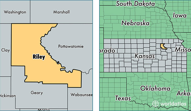
Riley County is a county equivalent area found in Kansas, USA. The county government of Riley is found in the county seat of Manhattan.
With a total 1,610.86 sq. km of land and water area, Riley County, Kansas is the 1663rd largest county equivalent area in the United States. Home to 75,194 people, Riley County has a total 29438 households earning 43962 on average per year.
Riley County, Kansas - Quick Facts
| FIPS Code | 20161 |
| Area Codes | 785 |
| Time Zone | CST |
| Major Cities | Manhattan (population: 64,559), Ogden (population: 2,215), Riley (population: 1,465), Leonardville (population: 898), Randolph (population: 602) |
| Land Area | 29,033 sq miles |
| Water Area | 610 sq miles |
| Household Income | $43,962 |
| Housing Units | 29,438 |
| Median Home Value | $170,400 |
| High School Grads | 95% of population |
| Holders of Bachelors Degrees | 45% of population |
| Retail Spending | $10,498 per capita |
| Food & Accomodation Sales | $125,435 per capita |
| Universities and Colleges | Kansas State University |
This page was last updated on June 30, 2016.