Where is Lincoln County, Kansas?
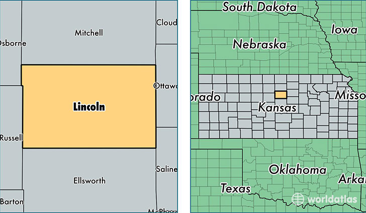
Lincoln County is a county equivalent area found in Kansas, USA. The county government of Lincoln is found in the county seat of Lincoln.
With a total 1,865.97 sq. km of land and water area, Lincoln County, Kansas is the 1364th largest county equivalent area in the United States. Home to 3,167 people, Lincoln County has a total 1852 households earning 40811 on average per year.
Lincoln County, Kansas - Quick Facts
| FIPS Code | 20105 |
| Area Codes | 785 |
| Time Zone | CST |
| Major Cities | Lincoln (population: 1,939), Sylvan Grove (population: 577), Beverly (population: 309), Barnard (population: 241), Hunter (population: 199) |
| Land Area | 1,223 sq miles |
| Water Area | 719 sq miles |
| Household Income | $40,811 |
| Housing Units | 1,852 |
| Median Home Value | $63,500 |
| High School Grads | 92% of population |
| Holders of Bachelors Degrees | 20% of population |
| Retail Spending | $3,413 per capita |
| Food & Accomodation Sales | $763 per capita |
This page was last updated on June 30, 2016.