Where is Wayne County, Illinois?
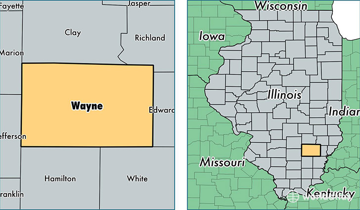
Wayne County is a county equivalent area found in Illinois, USA. The county government of Wayne is found in the county seat of Fairfield.
With a total 1,853.1 sq. km of land and water area, Wayne County, Illinois is the 1397th largest county equivalent area in the United States. Home to 16,543 people, Wayne County has a total 7865 households earning 43605 on average per year.
Wayne County, Illinois - Quick Facts
| FIPS Code | 17191 |
| Area Codes | 618 |
| Time Zone | CST |
| Major Cities | Fairfield (population: 8,768), Wayne City (population: 1,999), Cisne (population: 1,672), Geff (population: 825), Sims (population: 435), Mount Erie (population: 409), Rinard (population: 405), Johnsonville (population: 376), Keenes (population: 325), Barnhill (population: 140) |
| Land Area | 6,387 sq miles |
| Water Area | 714 sq miles |
| Household Income | $43,605 |
| Housing Units | 7,865 |
| Median Home Value | $75,700 |
| High School Grads | 86% of population |
| Holders of Bachelors Degrees | 12% of population |
| Retail Spending | $8,814 per capita |
| Universities and Colleges | Illinois Eastern Community Colleges-Frontier Community Coll |
This page was last updated on June 30, 2016.