Where is Edwards County, Illinois?
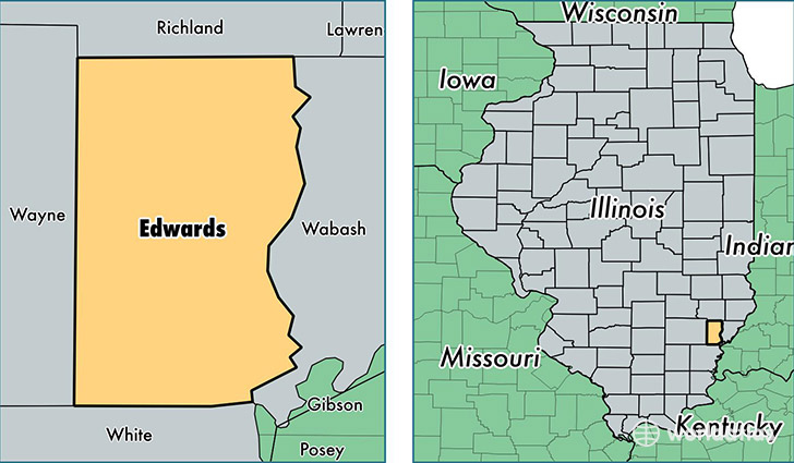
Edwards County is a county equivalent area found in Illinois, USA. The county government of Edwards is found in the county seat of Albion.
With a total 576.84 sq. km of land and water area, Edwards County, Illinois is the 2989th largest county equivalent area in the United States. Home to 6,617 people, Edwards County has a total 3143 households earning 39075 on average per year.
Edwards County, Illinois - Quick Facts
| FIPS Code | 17047 |
| Area Codes | 618 |
| Time Zone | CST |
| Major Cities | Albion (population: 3,393), West Salem (population: 1,721), Bone Gap (population: 413), Ellery (population: 379), Browns (population: 327) |
| Land Area | 2,555 sq miles |
| Water Area | 222 sq miles |
| Household Income | $39,075 |
| Housing Units | 3,143 |
| Median Home Value | $65,800 |
| High School Grads | 87% of population |
| Holders of Bachelors Degrees | 11% of population |
| Retail Spending | $6,229 per capita |
| Food & Accomodation Sales | $2,538 per capita |
This page was last updated on June 30, 2016.