Where is Marion County, Illinois?
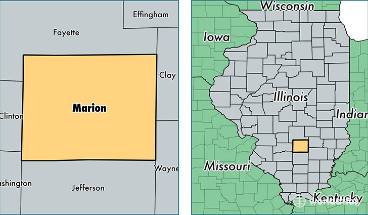
Marion County is a county equivalent area found in Illinois, USA. The county government of Marion is found in the county seat of Salem.
With a total 1,491.93 sq. km of land and water area, Marion County, Illinois is the 1860th largest county equivalent area in the United States. Home to 38,571 people, Marion County has a total 18076 households earning 41010 on average per year.
Marion County, Illinois - Quick Facts
| FIPS Code | 17121 |
| Area Codes | 618 |
| Time Zone | CST |
| Major Cities | Centralia (population: 22,239), Salem (population: 11,228), Sandoval (population: 2,299), Iuka (population: 2,174), Odin (population: 2,051), Kinmundy (population: 1,751), Patoka (population: 1,152), Kell (population: 1,019), Walnut Hill (population: 967), Alma (population: 947) |
| Land Area | 14,892 sq miles |
| Water Area | 572 sq miles |
| Household Income | $41,010 |
| Housing Units | 18,076 |
| Median Home Value | $70,300 |
| High School Grads | 87% of population |
| Holders of Bachelors Degrees | 14% of population |
| Retail Spending | $8,734 per capita |
| Food & Accomodation Sales | $36,765 per capita |
This page was last updated on June 30, 2016.