Where is Piatt County, Illinois?
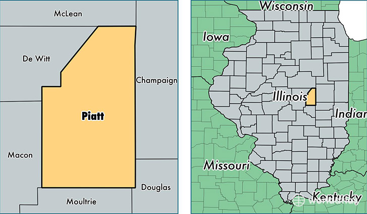
Piatt County is a county equivalent area found in Illinois, USA. The county government of Piatt is found in the county seat of Monticello.
With a total 1,138.2 sq. km of land and water area, Piatt County, Illinois is the 2389th largest county equivalent area in the United States. Home to 16,431 people, Piatt County has a total 7315 households earning 63027 on average per year.
Piatt County, Illinois - Quick Facts
| FIPS Code | 17147 |
| Area Codes | 217 |
| Time Zone | CST |
| Major Cities | Monticello (population: 7,333), Bement (population: 1,944), Atwood (population: 1,668), Cerro Gordo (population: 1,643), Mansfield (population: 1,418), White Heath (population: 1,228), Hammond (population: 758), De Land (population: 578), Cisco (population: 471), La Place (population: 239) |
| Land Area | 6,344 sq miles |
| Water Area | 439 sq miles |
| Household Income | $63,027 |
| Housing Units | 7,315 |
| Median Home Value | $120,800 |
| High School Grads | 93% of population |
| Holders of Bachelors Degrees | 27% of population |
| Retail Spending | $7,220 per capita |
| Food & Accomodation Sales | $9,981 per capita |
This page was last updated on June 30, 2016.