Where is McLean County, Illinois?
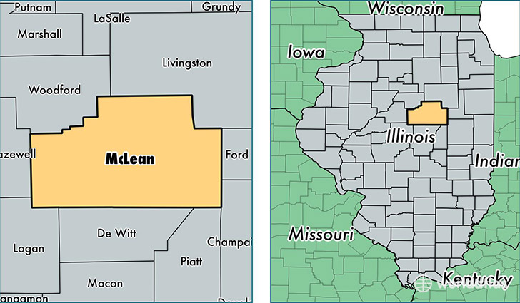
McLean County is a county equivalent area found in Illinois, USA. The county government of McLean is found in the county seat of Bloomington.
With a total 3,072.42 sq. km of land and water area, McLean County, Illinois is the 593rd largest county equivalent area in the United States. Home to 174,061 people, McLean County has a total 70708 households earning 62089 on average per year.
McLean County, Illinois - Quick Facts
| FIPS Code | 17113 |
| Area Codes | 309,815 |
| Time Zone | CST |
| Major Cities | Bloomington (population: 85,694), Normal (population: 53,723), Heyworth (population: 4,476), Le Roy (population: 4,407), Lexington (population: 3,060), Hudson (population: 2,826), Chenoa (population: 2,579), Danvers (population: 2,128), Gridley (population: 2,058), Downs (population: 1,836) |
| Land Area | 67,205 sq miles |
| Water Area | 1,183 sq miles |
| Household Income | $62,089 |
| Housing Units | 70,708 |
| Median Home Value | $157,200 |
| High School Grads | 94% of population |
| Holders of Bachelors Degrees | 43% of population |
| Retail Spending | $13,607 per capita |
| Food & Accomodation Sales | $336,104 per capita |
This page was last updated on June 30, 2016.