Where is Moultrie County, Illinois?
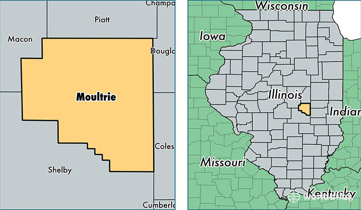
Moultrie County is a county equivalent area found in Illinois, USA. The county government of Moultrie is found in the county seat of Sullivan.
With a total 892.19 sq. km of land and water area, Moultrie County, Illinois is the 2750th largest county equivalent area in the United States. Home to 14,837 people, Moultrie County has a total 6301 households earning 46622 on average per year.
Moultrie County, Illinois - Quick Facts
| FIPS Code | 17139 |
| Area Codes | 217 |
| Time Zone | CST |
| Major Cities | Sullivan (population: 8,063), Lovington (population: 2,033), Bethany (population: 1,930), Dalton City (population: 913), Gays (population: 758) |
| Land Area | 5,729 sq miles |
| Water Area | 336 sq miles |
| Household Income | $46,622 |
| Housing Units | 6,301 |
| Median Home Value | $95,400 |
| High School Grads | 85% of population |
| Holders of Bachelors Degrees | 14% of population |
| Retail Spending | $8,275 per capita |
This page was last updated on June 30, 2016.