Where is Macon County, Illinois?
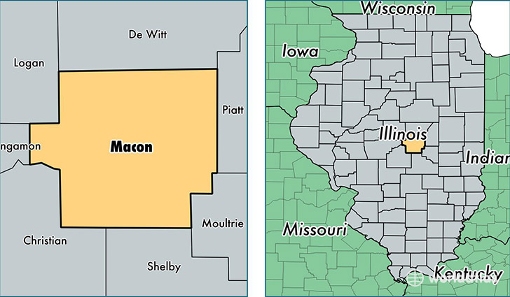
Macon County is a county equivalent area found in Illinois, USA. The county government of Macon is found in the county seat of Decatur.
With a total 1,517.38 sq. km of land and water area, Macon County, Illinois is the 1798th largest county equivalent area in the United States. Home to 108,350 people, Macon County has a total 50246 households earning 46559 on average per year.
Macon County, Illinois - Quick Facts
| FIPS Code | 17115 |
| Area Codes | 217 |
| Time Zone | CST |
| Major Cities | Decatur (population: 87,279), Mount Zion (population: 6,232), Forsyth (population: 3,513), Argenta (population: 2,645), Maroa (population: 2,323), Macon (population: 1,765), Blue Mound (population: 1,755), Oreana (population: 1,553), Warrensburg (population: 1,504), Niantic (population: 832) |
| Land Area | 41,834 sq miles |
| Water Area | 581 sq miles |
| Household Income | $46,559 |
| Housing Units | 50,246 |
| Median Home Value | $93,300 |
| High School Grads | 88% of population |
| Holders of Bachelors Degrees | 22% of population |
| Retail Spending | $13,342 per capita |
| Food & Accomodation Sales | $170,857 per capita |
This page was last updated on June 30, 2016.