Where is Saint Louis County, Missouri?
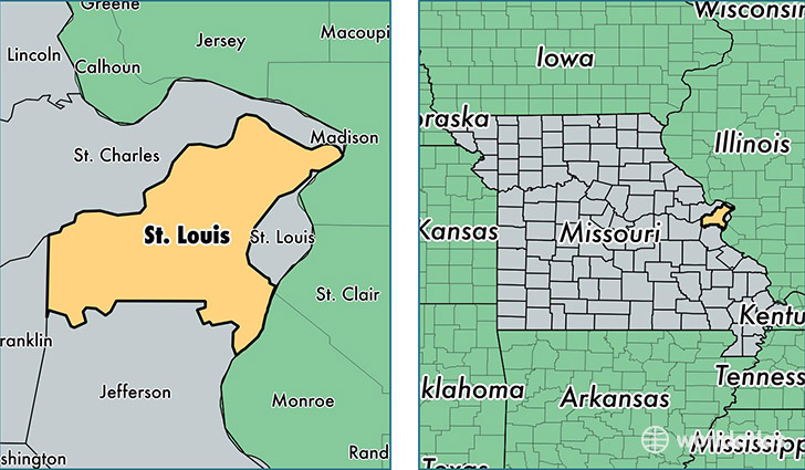
Saint Louis County is a county equivalent area found in Missouri, USA. The county government of Saint Louis is found in the county seat of Clayton.
With a total 1,354.51 sq. km of land and water area, Saint Louis County, Missouri is the 2093rd largest county equivalent area in the United States. Home to 1,001,876 people, Saint Louis County has a total 437299 households earning 58910 on average per year.
Saint Louis County, Missouri offers the following attractions to visitors: Six Flags St. Louis, Ulysses S. Grant NHS
Saint Louis County, Missouri - Quick Facts
| FIPS Code | 29189 |
| Area Codes | 636,314 |
| Time Zone | CST |
| Major Cities | St. Louis (population: 619,011), Florissant (population: 109,133), Ballwin (population: 92,744), Chesterfield (population: 59,310), Fenton (population: 44,295), Maryland Heights (population: 22,400), Hazelwood (population: 19,631), Saint Ann (population: 15,186), Eureka (population: 13,888), Bridgeton (population: 10,583) |
| Land Area | 386,826 sq miles |
| Water Area | 508 sq miles |
| Household Income | $58,910 |
| Housing Units | 437,299 |
| Median Home Value | $174,500 |
| High School Grads | 92% of population |
| Holders of Bachelors Degrees | 41% of population |
| Retail Spending | $17,347 per capita |
| Food & Accomodation Sales | $2,440,721 per capita |
| Universities and Colleges | Allied College North, Hickey College, Sanford-Brown College |
This page was last updated on June 30, 2016.