Where is Kendall County, Illinois?
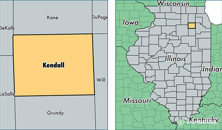
Kendall County is a county equivalent area found in Illinois, USA. The county government of Kendall is found in the county seat of Yorkville.
With a total 834.66 sq. km of land and water area, Kendall County, Illinois is the 2801st largest county equivalent area in the United States. Home to 121,350 people, Kendall County has a total 40835 households earning 81765 on average per year.
Kendall County, Illinois - Quick Facts
| FIPS Code | 17093 |
| Area Codes | 630,815 |
| Time Zone | CST |
| Major Cities | Oswego (population: 37,216), Montgomery (population: 27,276), Yorkville (population: 23,073), Plano (population: 13,319), Newark (population: 3,235), Bristol (population: 1,143), Millington (population: 668), Millbrook (population: 129) |
| Land Area | 46,853 sq miles |
| Water Area | 320 sq miles |
| Household Income | $81,765 |
| Housing Units | 40,835 |
| Median Home Value | $210,800 |
| High School Grads | 93% of population |
| Holders of Bachelors Degrees | 34% of population |
| Retail Spending | $10,957 per capita |
| Food & Accomodation Sales | $99,906 per capita |
This page was last updated on June 30, 2016.