Where is DuPage County, Illinois?
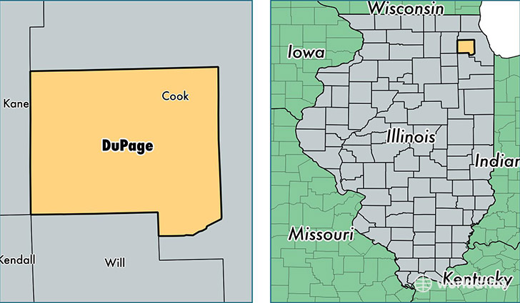
DuPage County is a county equivalent area found in Illinois, USA. The county government of DuPage is found in the county seat of Wheaton.
With a total 871.12 sq. km of land and water area, DuPage County, Illinois is the 2771st largest county equivalent area in the United States. Home to 932,708 people, DuPage County has a total 356231 households earning 78487 on average per year.
DuPage County, Illinois - Quick Facts
| FIPS Code | 17043 |
| Area Codes | 630,708 |
| Time Zone | CST |
| Major Cities | Naperville (population: 120,722), Aurora (population: 60,553), Wheaton (population: 60,205), Downers Grove (population: 57,268), Lombard (population: 52,088), Elmhurst (population: 46,928), Carol Stream (population: 43,170), Addison (population: 39,590), Glen Ellyn (population: 38,261), West Chicago (population: 36,968) |
| Land Area | 360,120 sq miles |
| Water Area | 327 sq miles |
| Household Income | $78,487 |
| Housing Units | 356,231 |
| Median Home Value | $286,500 |
| High School Grads | 92% of population |
| Holders of Bachelors Degrees | 46% of population |
| Retail Spending | $19,550 per capita |
| Food & Accomodation Sales | $2,226,207 per capita |
| Universities and Colleges | North Central College |
This page was last updated on June 30, 2016.