Where is Kane County, Illinois?
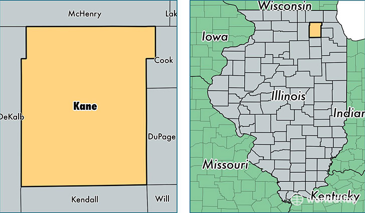
Kane County is a county equivalent area found in Illinois, USA. The county government of Kane is found in the county seat of Geneva.
With a total 1,357.99 sq. km of land and water area, Kane County, Illinois is the 2090th largest county equivalent area in the United States. Home to 527,306 people, Kane County has a total 182860 households earning 69530 on average per year.
Kane County, Illinois - Quick Facts
| FIPS Code | 17089 |
| Area Codes | 847,630,815 |
| Time Zone | CST |
| Major Cities | Aurora (population: 131,400), Elgin (population: 118,764), Saint Charles (population: 57,103), Carpentersville (population: 39,097), Batavia (population: 29,301), Geneva (population: 28,965), South Elgin (population: 22,976), North Aurora (population: 17,338), Dundee (population: 16,073), Hampshire (population: 14,540) |
| Land Area | 203,594 sq miles |
| Water Area | 520 sq miles |
| Household Income | $69,530 |
| Housing Units | 182,860 |
| Median Home Value | $223,100 |
| High School Grads | 83% of population |
| Holders of Bachelors Degrees | 32% of population |
| Retail Spending | $11,482 per capita |
| Food & Accomodation Sales | $680,888 per capita |
| Universities and Colleges | Hair Professionals Academy of Cosmetology, Waubonsee Community College, Judson University |
This page was last updated on June 30, 2016.