Where is DeKalb County, Illinois?
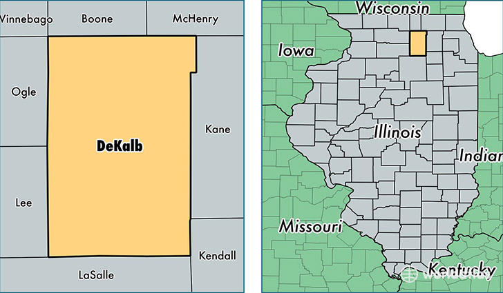
DeKalb County is a county equivalent area found in Illinois, USA. The county government of DeKalb is found in the county seat of Sycamore.
With a total 1,643.76 sq. km of land and water area, DeKalb County, Illinois is the 1627th largest county equivalent area in the United States. Home to 105,462 people, DeKalb County has a total 40907 households earning 53375 on average per year.
DeKalb County, Illinois - Quick Facts
| FIPS Code | 17037 |
| Area Codes | 815 |
| Time Zone | CST |
| Major Cities | DeKalb (population: 46,071), Sycamore (population: 21,749), Sandwich (population: 12,159), Genoa (population: 7,216), Cortland (population: 4,540), Somonauk (population: 4,419), Hinckley (population: 2,873), Kirkland (population: 2,701), Kingston (population: 2,615), Waterman (population: 1,998) |
| Land Area | 40,719 sq miles |
| Water Area | 631 sq miles |
| Household Income | $53,375 |
| Housing Units | 40,907 |
| Median Home Value | $173,000 |
| High School Grads | 91% of population |
| Holders of Bachelors Degrees | 30% of population |
| Retail Spending | $10,351 per capita |
| Food & Accomodation Sales | $128,175 per capita |
| Universities and Colleges | Hair Professionals Career College Inc |
This page was last updated on June 30, 2016.