Where is Washington County, Iowa?
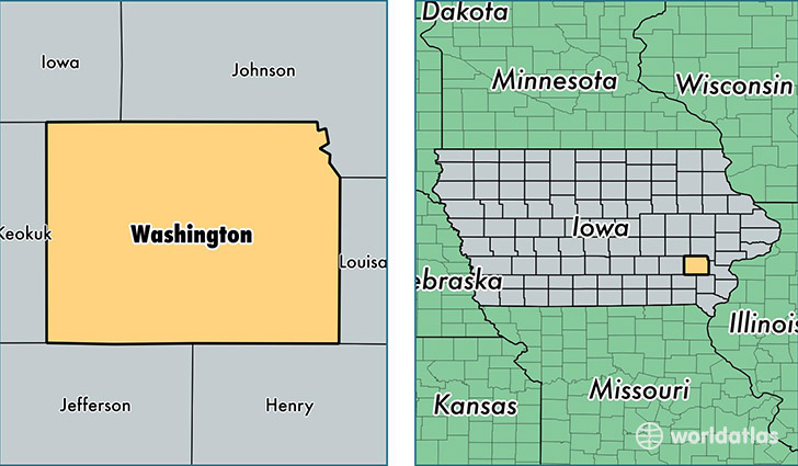
Washington County is a county equivalent area found in Iowa, USA. The county government of Washington is found in the county seat of Washington.
With a total 1,478.68 sq. km of land and water area, Washington County, Iowa is the 1922nd largest county equivalent area in the United States. Home to 22,070 people, Washington County has a total 9491 households earning 54554 on average per year.
Washington County, Iowa - Quick Facts
| FIPS Code | 19183 |
| Area Codes | 319 |
| Time Zone | CST |
| Major Cities | Washington (population: 9,261), Kalona (population: 5,757), Riverside (population: 3,055), Wellman (population: 2,682), Brighton (population: 1,429), Ainsworth (population: 1,279), Crawfordsville (population: 673), West Chester (population: 281) |
| Land Area | 8,521 sq miles |
| Water Area | 569 sq miles |
| Household Income | $54,554 |
| Housing Units | 9,491 |
| Median Home Value | $121,800 |
| High School Grads | 90% of population |
| Holders of Bachelors Degrees | 21% of population |
| Retail Spending | $9,221 per capita |
| Food & Accomodation Sales | $114,716 per capita |
This page was last updated on June 30, 2016.