Where is Keokuk County, Iowa?
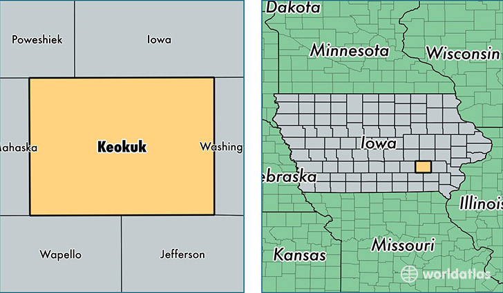
Keokuk County is a county equivalent area found in Iowa, USA. The county government of Keokuk is found in the county seat of Sigourney.
With a total 1,502. sq. km of land and water area, Keokuk County, Iowa is the 1834th largest county equivalent area in the United States. Home to 10,231 people, Keokuk County has a total 4878 households earning 42167 on average per year.
Keokuk County, Iowa - Quick Facts
| FIPS Code | 19107 |
| Area Codes | 641,319 |
| Time Zone | CST |
| Major Cities | Sigourney (population: 2,988), Keota (population: 1,801), Hedrick (population: 1,564), What Cheer (population: 980), Richland (population: 978), South English (population: 699), Delta (population: 577), Ollie (population: 560), Keswick (population: 439), Harper (population: 323) |
| Land Area | 3,950 sq miles |
| Water Area | 579 sq miles |
| Household Income | $42,167 |
| Housing Units | 4,878 |
| Median Home Value | $75,700 |
| High School Grads | 88% of population |
| Holders of Bachelors Degrees | 13% of population |
| Retail Spending | $6,236 per capita |
This page was last updated on June 30, 2016.