Where is Jefferson County, Iowa?
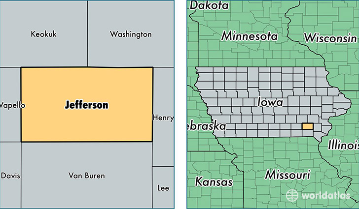
Jefferson County is a county equivalent area found in Iowa, USA. The county government of Jefferson is found in the county seat of Fairfield.
With a total 1,131.5 sq. km of land and water area, Jefferson County, Iowa is the 2401st largest county equivalent area in the United States. Home to 17,325 people, Jefferson County has a total 7517 households earning 48814 on average per year.
Jefferson County, Iowa - Quick Facts
| FIPS Code | 19101 |
| Area Codes | 641,319 |
| Time Zone | CST |
| Major Cities | Fairfield (population: 13,350), Batavia (population: 1,215), Lockridge (population: 675), Libertyville (population: 615), Packwood (population: 460) |
| Land Area | 6,689 sq miles |
| Water Area | 436 sq miles |
| Household Income | $48,814 |
| Housing Units | 7,517 |
| Median Home Value | $92,400 |
| High School Grads | 95% of population |
| Holders of Bachelors Degrees | 31% of population |
| Retail Spending | $21,471 per capita |
| Food & Accomodation Sales | $16,610 per capita |
This page was last updated on June 30, 2016.