Where is Louisa County, Iowa?
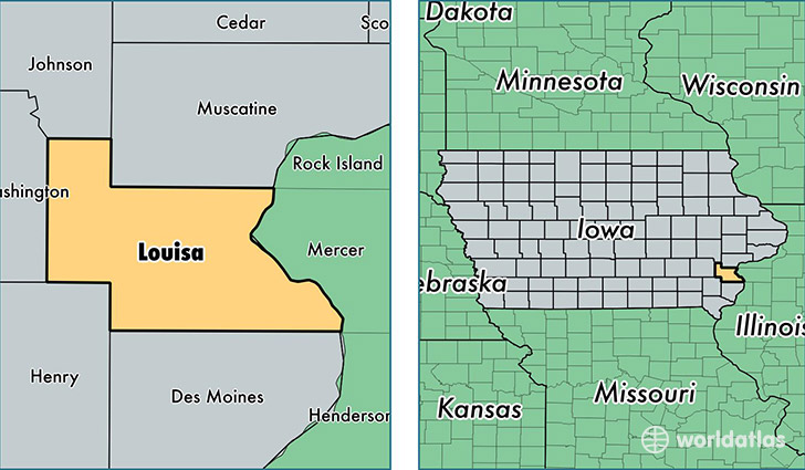
Louisa County is a county equivalent area found in Iowa, USA. The county government of Louisa is found in the county seat of Wapello.
With a total 1,081.37 sq. km of land and water area, Louisa County, Iowa is the 2501st largest county equivalent area in the United States. Home to 11,161 people, Louisa County has a total 4984 households earning 50583 on average per year.
Louisa County, Iowa - Quick Facts
| FIPS Code | 19115 |
| Area Codes | 319 |
| Time Zone | CST |
| Major Cities | Wapello (population: 3,535), Columbus Junction (population: 3,532), Morning Sun (population: 1,434), Letts (population: 1,267), Conesville (population: 744), Grandview (population: 510), Columbus City (population: 380), Oakville (population: 373) |
| Land Area | 4,309 sq miles |
| Water Area | 402 sq miles |
| Household Income | $50,583 |
| Housing Units | 4,984 |
| Median Home Value | $95,400 |
| High School Grads | 83% of population |
| Holders of Bachelors Degrees | 14% of population |
| Retail Spending | $4,798 per capita |
| Food & Accomodation Sales | $4,530 per capita |
This page was last updated on June 30, 2016.