Where is Henry County, Iowa?
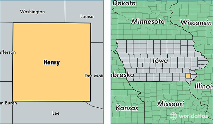
Henry County is a county equivalent area found in Iowa, USA. The county government of Henry is found in the county seat of Mount Pleasant.
With a total 1,130.68 sq. km of land and water area, Henry County, Iowa is the 2406th largest county equivalent area in the United States. Home to 20,217 people, Henry County has a total 8240 households earning 46376 on average per year.
Henry County, Iowa - Quick Facts
| FIPS Code | 19087 |
| Area Codes | 319 |
| Time Zone | CST |
| Major Cities | Mount Pleasant (population: 12,412), New London (population: 3,189), Wayland (population: 1,736), Winfield (population: 1,558), Salem (population: 890), Mount Union (population: 413), Olds (population: 230), Swedesburg (population: 83) |
| Land Area | 7,806 sq miles |
| Water Area | 434 sq miles |
| Household Income | $46,376 |
| Housing Units | 8,240 |
| Median Home Value | $103,700 |
| High School Grads | 91% of population |
| Holders of Bachelors Degrees | 20% of population |
| Retail Spending | $10,665 per capita |
| Food & Accomodation Sales | $22,246 per capita |
This page was last updated on June 30, 2016.