Where is Taylor County, Iowa?
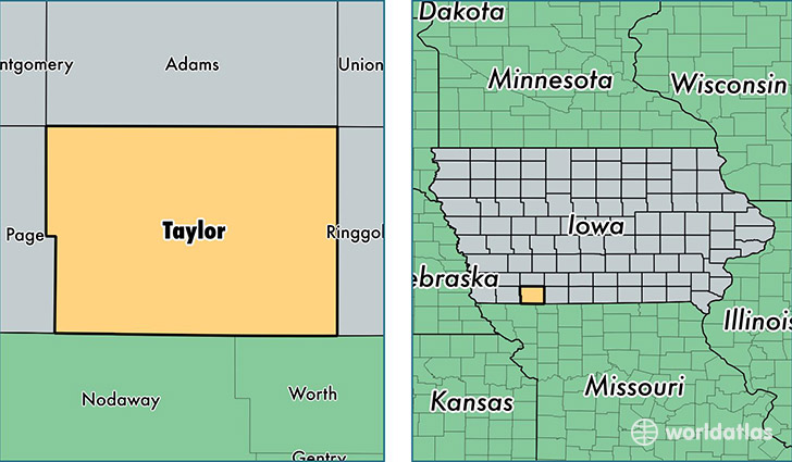
Taylor County is a county equivalent area found in Iowa, USA. The county government of Taylor is found in the county seat of Bedford.
With a total 1,384.75 sq. km of land and water area, Taylor County, Iowa is the 2057th largest county equivalent area in the United States. Home to 6,143 people, Taylor County has a total 3079 households earning 43804 on average per year.
Taylor County, Iowa - Quick Facts
| FIPS Code | 19173 |
| Area Codes | 712,641 |
| Time Zone | CST |
| Major Cities | Bedford (population: 2,265), Lenox (population: 2,051), New Market (population: 749), Clearfield (population: 551), Blockton (population: 450), Gravity (population: 371), Sharpsburg (population: 145) |
| Land Area | 2,372 sq miles |
| Water Area | 532 sq miles |
| Household Income | $43,804 |
| Housing Units | 3,079 |
| Median Home Value | $66,400 |
| High School Grads | 90% of population |
| Holders of Bachelors Degrees | 14% of population |
| Retail Spending | $3,906 per capita |
This page was last updated on June 30, 2016.