Where is Poweshiek County, Iowa?
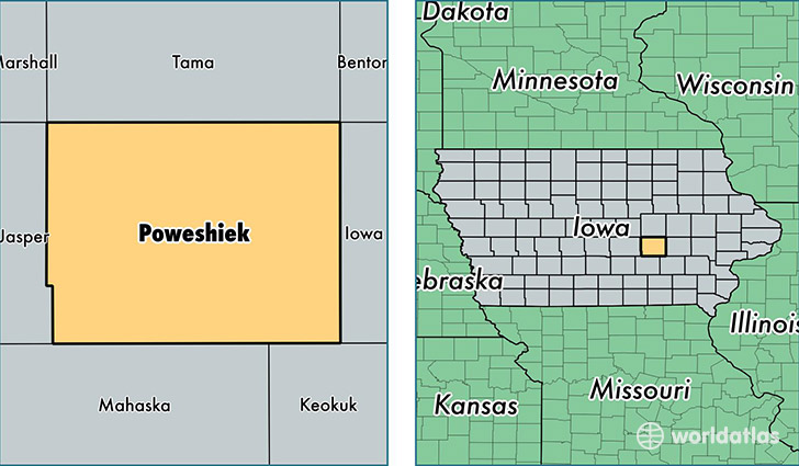
Poweshiek County is a county equivalent area found in Iowa, USA. The county government of Poweshiek is found in the county seat of Montezuma.
With a total 1,517.91 sq. km of land and water area, Poweshiek County, Iowa is the 1797th largest county equivalent area in the United States. Home to 18,668 people, Poweshiek County has a total 8908 households earning 50349 on average per year.
Poweshiek County, Iowa - Quick Facts
| FIPS Code | 19157 |
| Area Codes | 641,319 |
| Time Zone | CST |
| Major Cities | Grinnell (population: 11,429), Montezuma (population: 2,895), Brooklyn (population: 2,599), Malcom (population: 754), Deep River (population: 702), Searsboro (population: 434), Guernsey (population: 218), Hartwick (population: 176) |
| Land Area | 7,208 sq miles |
| Water Area | 585 sq miles |
| Household Income | $50,349 |
| Housing Units | 8,908 |
| Median Home Value | $117,600 |
| High School Grads | 93% of population |
| Holders of Bachelors Degrees | 24% of population |
| Retail Spending | $12,932 per capita |
| Food & Accomodation Sales | $17,021 per capita |
This page was last updated on June 30, 2016.