Where is Marshall County, Iowa?
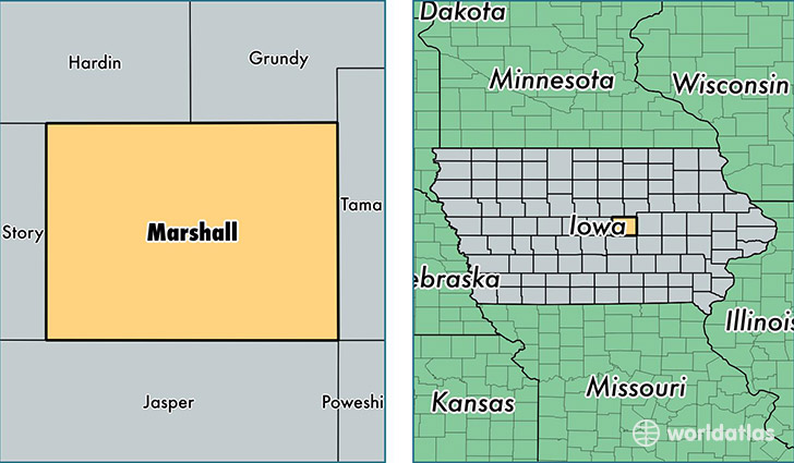
Marshall County is a county equivalent area found in Iowa, USA. The county government of Marshall is found in the county seat of Marshalltown.
With a total 1,484.58 sq. km of land and water area, Marshall County, Iowa is the 1900th largest county equivalent area in the United States. Home to 40,866 people, Marshall County has a total 16698 households earning 51555 on average per year.
Marshall County, Iowa - Quick Facts
| FIPS Code | 19127 |
| Area Codes | 641 |
| Time Zone | CST |
| Major Cities | Marshalltown (population: 31,752), State Center (population: 2,528), Melbourne (population: 1,239), Gilman (population: 1,041), Le Grand (population: 935), Albion (population: 733), Rhodes (population: 615), Laurel (population: 570), Liscomb (population: 434), Haverhill (population: 324) |
| Land Area | 15,778 sq miles |
| Water Area | 573 sq miles |
| Household Income | $51,555 |
| Housing Units | 16,698 |
| Median Home Value | $105,400 |
| High School Grads | 85% of population |
| Holders of Bachelors Degrees | 19% of population |
| Retail Spending | $10,434 per capita |
| Food & Accomodation Sales | $40,400 per capita |
This page was last updated on June 30, 2016.