Where is Tama County, Iowa?
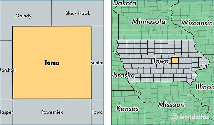
Tama County is a county equivalent area found in Iowa, USA. The county government of Tama is found in the county seat of Toledo.
With a total 1,870.18 sq. km of land and water area, Tama County, Iowa is the 1354th largest county equivalent area in the United States. Home to 17,451 people, Tama County has a total 7728 households earning 51670 on average per year.
Tama County, Iowa - Quick Facts
| FIPS Code | 19171 |
| Area Codes | 641,319 |
| Time Zone | CST |
| Major Cities | Tama (population: 4,445), Toledo (population: 3,231), Traer (population: 2,424), Dysart (population: 1,990), Gladbrook (population: 1,581), Garwin (population: 1,094), Chelsea (population: 832), Montour (population: 686), Clutier (population: 582), Elberon (population: 441) |
| Land Area | 6,738 sq miles |
| Water Area | 721 sq miles |
| Household Income | $51,670 |
| Housing Units | 7,728 |
| Median Home Value | $101,300 |
| High School Grads | 90% of population |
| Holders of Bachelors Degrees | 16% of population |
| Retail Spending | $6,366 per capita |
This page was last updated on June 30, 2016.