Where is Dallas County, Iowa?
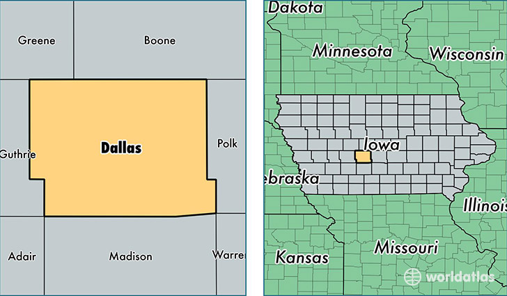
Dallas County is a county equivalent area found in Iowa, USA. The county government of Dallas is found in the county seat of Adel.
With a total 1,532.49 sq. km of land and water area, Dallas County, Iowa is the 1771st largest county equivalent area in the United States. Home to 77,400 people, Dallas County has a total 28963 households earning 73847 on average per year.
Dallas County, Iowa - Quick Facts
| FIPS Code | 19049 |
| Area Codes | 515,641 |
| Time Zone | CST |
| Major Cities | Waukee (population: 17,486), Urbandale (population: 10,872), Perry (population: 9,769), Adel (population: 7,175), Granger (population: 2,929), Dallas Center (population: 2,833), Woodward (population: 2,648), Van Meter (population: 2,338), Dexter (population: 1,540), Redfield (population: 1,499) |
| Land Area | 29,884 sq miles |
| Water Area | 588 sq miles |
| Household Income | $73,847 |
| Housing Units | 28,963 |
| Median Home Value | $184,100 |
| High School Grads | 94% of population |
| Holders of Bachelors Degrees | 44% of population |
| Retail Spending | $15,813 per capita |
| Food & Accomodation Sales | $110,369 per capita |
This page was last updated on June 30, 2016.