Carroll County, IA, USA
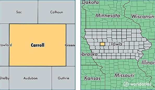
Carroll County is a county equivalent area found in Iowa, USA. The county government of Carroll is found in the county seat of Carroll.
With a total 1,476.98 sq. km of land and water area, Carroll County, Iowa is the 1932nd largest county equivalent area in the United States. Home to 20,562 people, Carroll County has a total 9389 households earning 48361 on average per year.
Carroll County, Iowa - Quick Facts
| FIPS Code | 19027 |
| Area Codes | 712 |
| Time Zone | CST |
| Major Cities | Carroll (population: 12,263), Manning (population: 2,287), Coon Rapids (population: 1,906), Glidden (population: 1,782), Breda (population: 896), Arcadia (population: 754), Templeton (population: 547), Dedham (population: 396), Halbur (population: 243), Lidderdale (population: 191) |
| Land Area | 7,939 sq miles |
| Water Area | 570 sq miles |
| Household Income | $48,361 |
| Housing Units | 9,389 |
| Median Home Value | $105,700 |
| High School Grads | 91% of population |
| Holders of Bachelors Degrees | 19% of population |
| Retail Spending | $14,338 per capita |
| Food & Accomodation Sales | $20,787 per capita |