Where is Walker County, Georgia?
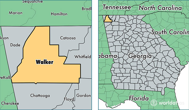
Walker County is a county equivalent area found in Georgia, USA. The county government of Walker is found in the county seat of LaFayette.
With a total 1,157.82 sq. km of land and water area, Walker County, Georgia is the 2353rd largest county equivalent area in the United States. Home to 68,218 people, Walker County has a total 29901 households earning 39963 on average per year.
Walker County, Georgia - Quick Facts
| FIPS Code | 13295 |
| Area Codes | 706 |
| Time Zone | EST |
| Major Cities | Rossville (population: 29,300), La Fayette (population: 19,423), Chickamauga (population: 16,339), Rock Spring (population: 5,544), Flintstone (population: 4,602), Lookout Mountain (population: 4,087) |
| Land Area | 26,339 sq miles |
| Water Area | 446 sq miles |
| Household Income | $39,963 |
| Housing Units | 29,901 |
| Median Home Value | $104,700 |
| High School Grads | 79% of population |
| Holders of Bachelors Degrees | 14% of population |
| Retail Spending | $5,332 per capita |
| Food & Accomodation Sales | $25,369 per capita |
This page was last updated on June 30, 2016.