Where is Whitfield County, Georgia?
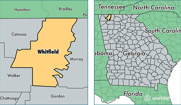
Whitfield County is a county equivalent area found in Georgia, USA. The county government of Whitfield is found in the county seat of Dalton.
With a total 753.83 sq. km of land and water area, Whitfield County, Georgia is the 2859th largest county equivalent area in the United States. Home to 103,542 people, Whitfield County has a total 39522 households earning 40471 on average per year.
Whitfield County, Georgia - Quick Facts
| FIPS Code | 13313 |
| Area Codes | 706 |
| Time Zone | EST |
| Major Cities | Dalton (population: 81,080), Tunnel Hill (population: 9,696), Rocky Face (population: 8,659), Cohutta (population: 6,710), Varnell (population: 74) |
| Land Area | 39,978 sq miles |
| Water Area | 290 sq miles |
| Household Income | $40,471 |
| Housing Units | 39,522 |
| Median Home Value | $122,800 |
| High School Grads | 69% of population |
| Holders of Bachelors Degrees | 14% of population |
| Retail Spending | $15,535 per capita |
| Food & Accomodation Sales | $144,781 per capita |
| Universities and Colleges | Dalton State College |
This page was last updated on June 30, 2016.