Where is Floyd County, Georgia?
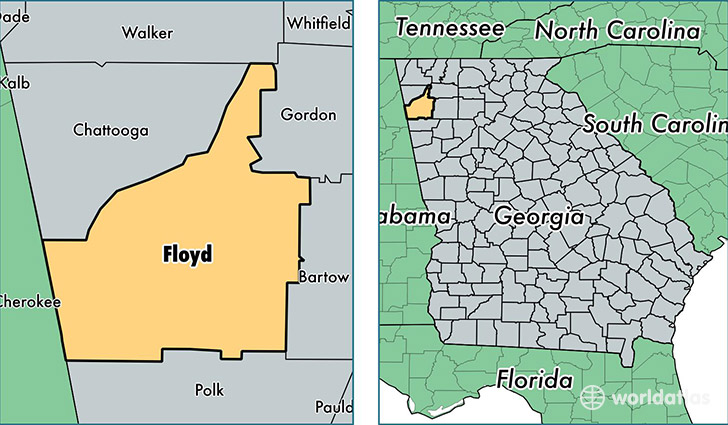
Floyd County is a county equivalent area found in Georgia, USA. The county government of Floyd is found in the county seat of Rome.
With a total 1,342.82 sq. km of land and water area, Floyd County, Georgia is the 2109th largest county equivalent area in the United States. Home to 96,063 people, Floyd County has a total 40320 households earning 40821 on average per year.
Floyd County, Georgia - Quick Facts
| FIPS Code | 13115 |
| Area Codes | 706 |
| Time Zone | EST |
| Major Cities | Rome (population: 74,939), Silver Creek (population: 6,210), Lindale (population: 4,358), Cave Spring (population: 2,973), Armuchee (population: 2,288), Mount Berry (population: 1,566) |
| Land Area | 37,090 sq miles |
| Water Area | 510 sq miles |
| Household Income | $40,821 |
| Housing Units | 40,320 |
| Median Home Value | $114,800 |
| High School Grads | 78% of population |
| Holders of Bachelors Degrees | 18% of population |
| Retail Spending | $10,932 per capita |
| Food & Accomodation Sales | $144,251 per capita |
| Universities and Colleges | Berry College |
This page was last updated on June 30, 2016.