Where is Warren County, Georgia?
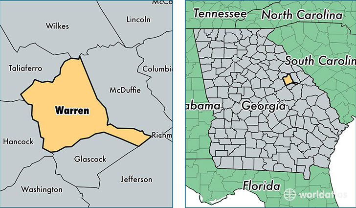
Warren County is a county equivalent area found in Georgia, USA. The county government of Warren is found in the county seat of Warrenton.
With a total 742.52 sq. km of land and water area, Warren County, Georgia is the 2869th largest county equivalent area in the United States. Home to 5,520 people, Warren County has a total 2927 households earning 27796 on average per year.
Warren County, Georgia - Quick Facts
| FIPS Code | 13301 |
| Area Codes | 706 |
| Time Zone | EST |
| Major Cities | Warrenton (population: 4,180), Norwood (population: 843), Camak (population: 87), Jewell (population: 69) |
| Land Area | 2,131 sq miles |
| Water Area | 284 sq miles |
| Household Income | $27,796 |
| Housing Units | 2,927 |
| Median Home Value | $66,700 |
| High School Grads | 73% of population |
| Holders of Bachelors Degrees | 7% of population |
| Retail Spending | $3,954 per capita |
| Food & Accomodation Sales | $749 per capita |
This page was last updated on June 30, 2016.