Where is Lumpkin County, Georgia?
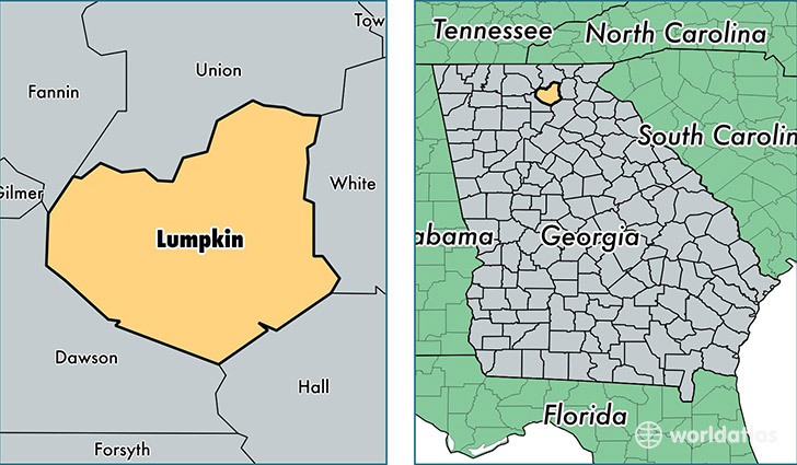
Lumpkin County is a county equivalent area found in Georgia, USA. The county government of Lumpkin is found in the county seat of Dahlonega.
With a total 736.07 sq. km of land and water area, Lumpkin County, Georgia is the 2879th largest county equivalent area in the United States. Home to 31,176 people, Lumpkin County has a total 12878 households earning 43775 on average per year.
Lumpkin County, Georgia - Quick Facts
| FIPS Code | 13187 |
| Area Codes | 706,770 |
| Time Zone | EST |
| Major Cities | Dahlonega (population: 25,843), Murrayville (population: 4,588) |
| Land Area | 12,037 sq miles |
| Water Area | 283 sq miles |
| Household Income | $43,775 |
| Housing Units | 12,878 |
| Median Home Value | $165,900 |
| High School Grads | 85% of population |
| Holders of Bachelors Degrees | 25% of population |
| Retail Spending | $7,764 per capita |
| Food & Accomodation Sales | $33,394 per capita |
This page was last updated on June 30, 2016.