Where is White County, Georgia?
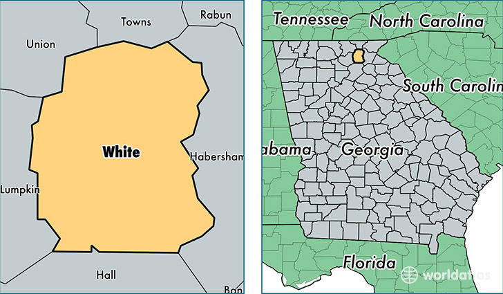
White County is a county equivalent area found in Georgia, USA. The county government of White is found in the county seat of Cleveland.
With a total 627.31 sq. km of land and water area, White County, Georgia is the 2964th largest county equivalent area in the United States. Home to 27,970 people, White County has a total 15931 households earning 40670 on average per year.
White County, Georgia - Quick Facts
| FIPS Code | 13311 |
| Area Codes | 706 |
| Time Zone | EST |
| Major Cities | Cleveland (population: 23,024), Sautee Nacoochee (population: 3,737), Helen (population: 950) |
| Land Area | 10,799 sq miles |
| Water Area | 241 sq miles |
| Household Income | $40,670 |
| Housing Units | 15,931 |
| Median Home Value | $169,600 |
| High School Grads | 85% of population |
| Holders of Bachelors Degrees | 19% of population |
| Retail Spending | $11,284 per capita |
| Food & Accomodation Sales | $51,128 per capita |
This page was last updated on June 30, 2016.