Where is Dawson County, Georgia?
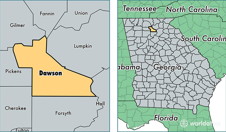
Dawson County is a county equivalent area found in Georgia, USA. The county government of Dawson is found in the county seat of Dawsonville.
With a total 555.32 sq. km of land and water area, Dawson County, Georgia is the 3001st largest county equivalent area in the United States. Home to 22,957 people, Dawson County has a total 10497 households earning 53525 on average per year.
Dawson County, Georgia - Quick Facts
| FIPS Code | 13085 |
| Area Codes | 706 |
| Time Zone | EST |
| Major Cities | Dawsonville (population: 26,961) |
| Land Area | 8,864 sq miles |
| Water Area | 211 sq miles |
| Household Income | $53,525 |
| Housing Units | 10,497 |
| Median Home Value | $186,000 |
| High School Grads | 86% of population |
| Holders of Bachelors Degrees | 24% of population |
| Retail Spending | $21,598 per capita |
| Food & Accomodation Sales | $49,886 per capita |
| Universities and Colleges | Southern Catholic College |
This page was last updated on June 30, 2016.