Where is Cherokee County, Alabama?
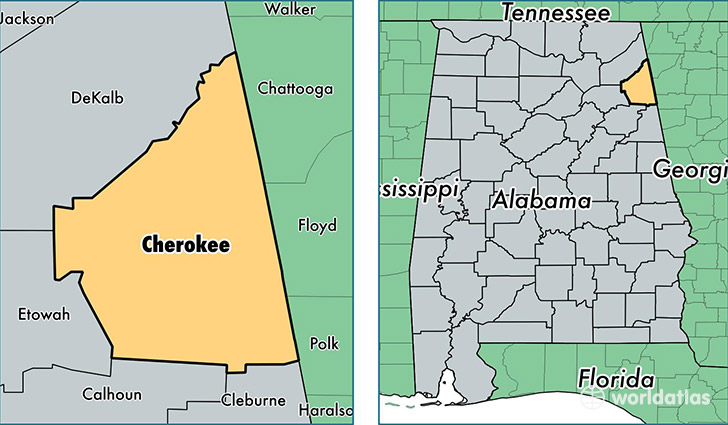
Cherokee County is a county equivalent area found in Alabama, USA. The county government of Cherokee is found in the county seat of Centre.
With a total 1,553.93 sq. km of land and water area, Cherokee County, Alabama is the 1744th largest county equivalent area in the United States. Home to 26,037 people, Cherokee County has a total 16134 households earning 34907 on average per year.
Cherokee County, Alabama - Quick Facts
| FIPS Code | 1019 |
| Area Codes | 256 |
| Time Zone | CST |
| Major Cities | Centre (population: 10,099), Cedar Bluff (population: 4,841), Leesburg (population: 3,742), Gaylesville (population: 2,873) |
| Land Area | 10,053 sq miles |
| Water Area | 554 sq miles |
| Household Income | $34,907 |
| Housing Units | 16,134 |
| Median Home Value | $99,400 |
| High School Grads | 78% of population |
| Holders of Bachelors Degrees | 13% of population |
| Retail Spending | $7,613 per capita |
| Food & Accomodation Sales | $13,948 per capita |
This page was last updated on June 30, 2016.