Where is Clayton County, Georgia?
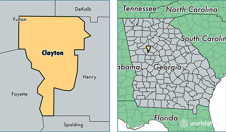
Clayton County is a county equivalent area found in Georgia, USA. The county government of Clayton is found in the county seat of Jonesboro.
With a total 373.92 sq. km of land and water area, Clayton County, Georgia is the 3079th largest county equivalent area in the United States. Home to 267,542 people, Clayton County has a total 104343 households earning 40606 on average per year.
Clayton County, Georgia - Quick Facts
| FIPS Code | 13063 |
| Area Codes | 770,404 |
| Time Zone | EST |
| Major Cities | Jonesboro (population: 83,157), Riverdale (population: 59,331), Forest Park (population: 27,865), Morrow (population: 23,823), Rex (population: 15,075), Lovejoy (population: 695) |
| Land Area | 103,299 sq miles |
| Water Area | 142 sq miles |
| Household Income | $40,606 |
| Housing Units | 104,343 |
| Median Home Value | $97,500 |
| High School Grads | 82% of population |
| Holders of Bachelors Degrees | 18% of population |
| Retail Spending | $11,760 per capita |
| Food & Accomodation Sales | $398,890 per capita |
| Universities and Colleges | Beauty College of America |
This page was last updated on June 30, 2016.