Where is Cherokee County, Georgia?
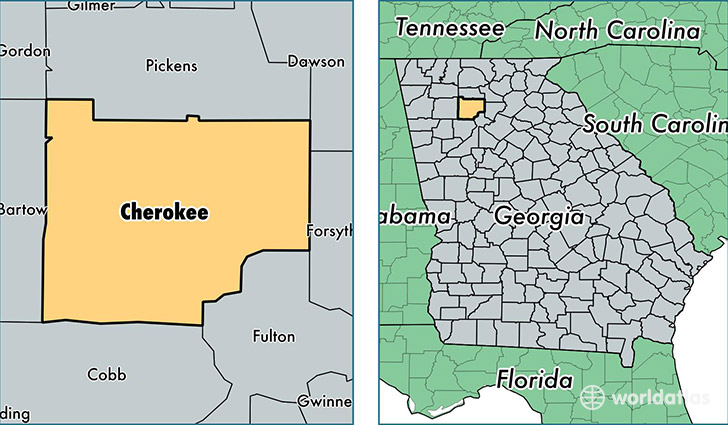
Cherokee County is a county equivalent area found in Georgia, USA. The county government of Cherokee is found in the county seat of Canton.
With a total 1,125.13 sq. km of land and water area, Cherokee County, Georgia is the 2422nd largest county equivalent area in the United States. Home to 230,985 people, Cherokee County has a total 84062 households earning 67261 on average per year.
Cherokee County, Georgia - Quick Facts
| FIPS Code | 13057 |
| Area Codes | 770 |
| Time Zone | EST |
| Major Cities | Woodstock (population: 92,134), Canton (population: 88,223), Acworth (population: 38,457), Ball Ground (population: 13,313), Waleska (population: 5,452) |
| Land Area | 89,184 sq miles |
| Water Area | 422 sq miles |
| Household Income | $67,261 |
| Housing Units | 84,062 |
| Median Home Value | $190,400 |
| High School Grads | 89% of population |
| Holders of Bachelors Degrees | 34% of population |
| Retail Spending | $10,373 per capita |
| Food & Accomodation Sales | $246,874 per capita |
This page was last updated on June 30, 2016.