Where is Alachua County, Florida?
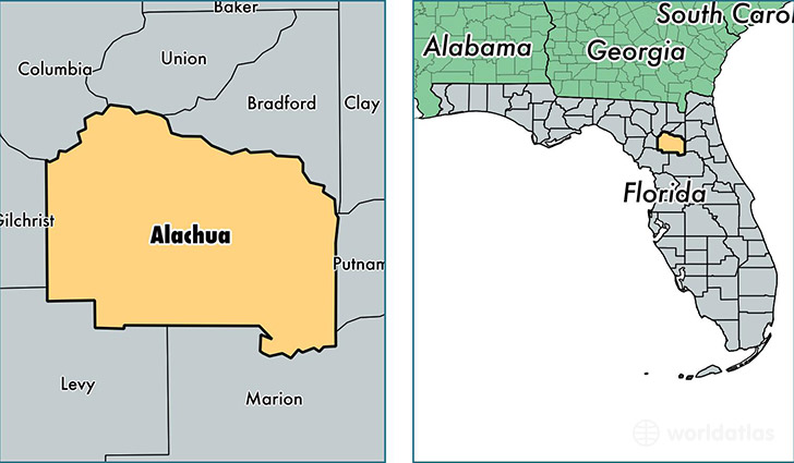
Alachua County is a county equivalent area found in Florida, USA. The county government of Alachua is found in the county seat of Gainesville.
With a total 2,509.2 sq. km of land and water area, Alachua County, Florida is the 815th largest county equivalent area in the United States. Home to 256,380 people, Alachua County has a total 113159 households earning 42149 on average per year.
Alachua County, Florida - Quick Facts
| FIPS Code | 12001 |
| Area Codes | 352,386 |
| Time Zone | EST |
| Major Cities | Gainesville (population: 200,271), Alachua (population: 15,416), Newberry (population: 11,794), High Springs (population: 11,055), Hawthorne (population: 10,507), Archer (population: 7,793), Micanopy (population: 3,848), Waldo (population: 2,177), La Crosse (population: 313), Earleton (population: 295) |
| Land Area | 98,989 sq miles |
| Water Area | 875 sq miles |
| Household Income | $42,149 |
| Housing Units | 113,159 |
| Median Home Value | $167,900 |
| High School Grads | 91% of population |
| Holders of Bachelors Degrees | 41% of population |
| Retail Spending | $13,124 per capita |
| Food & Accomodation Sales | $493,980 per capita |
| Universities and Colleges | University of Florida, Academy For Five Element Acupuncture |
This page was last updated on June 30, 2016.