Where is Arapahoe County, Colorado?
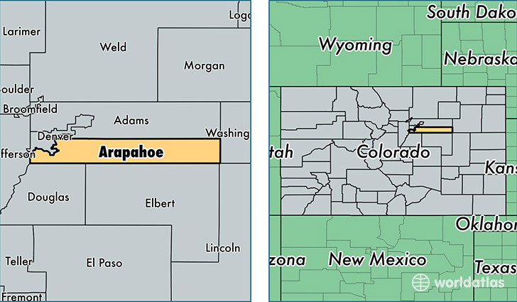
Arapahoe County is a county equivalent area found in Colorado, USA. The county government of Arapahoe is found in the county seat of Littleton.
With a total 2,086.13 sq. km of land and water area, Arapahoe County, Colorado is the 1162nd largest county equivalent area in the United States. Home to 618,821 people, Arapahoe County has a total 240912 households earning 60651 on average per year.
Arapahoe County, Colorado - Quick Facts
| FIPS Code | 8005 |
| Area Codes | 303 |
| Time Zone | MST |
| Major Cities | Aurora (population: 403,275), Englewood (population: 103,715), Littleton (population: 79,200), Denver (population: 13,541), Byers (population: 2,558), Watkins (population: 1,377), Deer Trail (population: 1,208) |
| Land Area | 238,928 sq miles |
| Water Area | 798 sq miles |
| Household Income | $60,651 |
| Housing Units | 240,912 |
| Median Home Value | $230,700 |
| High School Grads | 91% of population |
| Holders of Bachelors Degrees | 39% of population |
| Retail Spending | $18,277 per capita |
| Food & Accomodation Sales | $1,008,531 per capita |
| Universities and Colleges | Bel-Rea Institute of Animal Technology |
This page was last updated on June 30, 2016.