Where is Jefferson County, Colorado?
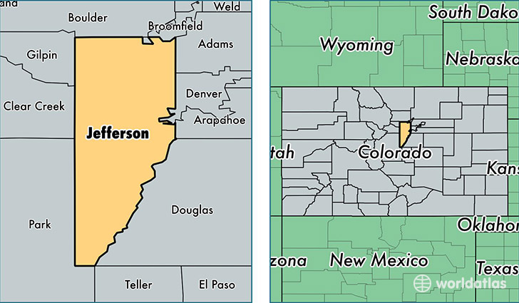
Jefferson County is a county equivalent area found in Colorado, USA. The county government of Jefferson is found in the county seat of Golden.
With a total 2,004.73 sq. km of land and water area, Jefferson County, Colorado is the 1227th largest county equivalent area in the United States. Home to 558,503 people, Jefferson County has a total 231496 households earning 68984 on average per year.
Jefferson County, Colorado - Quick Facts
| FIPS Code | 8059 |
| Area Codes | 303 |
| Time Zone | MST |
| Major Cities | Denver (population: 170,239), Littleton (population: 125,559), Arvada (population: 124,718), Golden (population: 58,763), Broomfield (population: 30,718), Wheat Ridge (population: 24,453), Evergreen (population: 24,159), Morrison (population: 15,453), Conifer (population: 8,523), Pine (population: 3,323) |
| Land Area | 215,639 sq miles |
| Water Area | 764 sq miles |
| Household Income | $68,984 |
| Housing Units | 231,496 |
| Median Home Value | $262,400 |
| High School Grads | 94% of population |
| Holders of Bachelors Degrees | 41% of population |
| Retail Spending | $13,782 per capita |
| Food & Accomodation Sales | $960,467 per capita |
| Universities and Colleges | Red Rocks Community College, Colorado School of Mines |
This page was last updated on June 30, 2016.