Where is Trinity County, California?
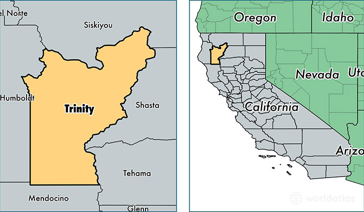
Trinity County is a county equivalent area found in California, USA. The county government of Trinity is found in the county seat of Weaverville.
With a total 8,307.72 sq. km of land and water area, Trinity County, California is the 173rd largest county equivalent area in the United States. Home to 13,170 people, Trinity County has a total 8709 households earning 36890 on average per year.
Trinity County, California offers the following attraction to visitors: Whiskeytown Shasta Trinity NRA
Trinity County, California - Quick Facts
| FIPS Code | 6105 |
| Area Codes | 530,707 |
| Time Zone | PST |
| Major Cities | Weaverville (population: 4,055), Hayfork (population: 2,695), Lewiston (population: 1,432), Douglas City (population: 1,123), Junction City (population: 722), Trinity Center (population: 685), Mad River (population: 683), Salyer (population: 639), Burnt Ranch (population: 615), Hyampom (population: 298) |
| Land Area | 5,085 sq miles |
| Water Area | 3,179 sq miles |
| Household Income | $36,890 |
| Housing Units | 8,709 |
| Median Home Value | $257,400 |
| High School Grads | 91% of population |
| Holders of Bachelors Degrees | 21% of population |
| Retail Spending | $4,966 per capita |
| Food & Accomodation Sales | $14,624 per capita |
This page was last updated on June 30, 2016.