Where is Siskiyou County, California?
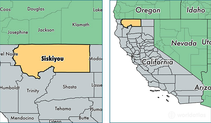
Siskiyou County is a county equivalent area found in California, USA. The county government of Siskiyou is found in the county seat of Yreka.
With a total 16,439.5 sq. km of land and water area, Siskiyou County, California is the 58th largest county equivalent area in the United States. Home to 43,628 people, Siskiyou County has a total 23976 households earning 37709 on average per year.
Siskiyou County, California offers the following attraction to visitors: Lava Beds NM
Siskiyou County, California - Quick Facts
| FIPS Code | 6093 |
| Area Codes | 530 |
| Time Zone | PST |
| Major Cities | Yreka (population: 9,864), Mount Shasta (population: 7,045), Weed (population: 6,519), Montague (population: 4,498), Fort Jones (population: 2,367), Dunsmuir (population: 2,275), Etna (population: 2,189), McCloud (population: 1,332), Happy Camp (population: 1,230), Dorris (population: 1,219) |
| Land Area | 16,845 sq miles |
| Water Area | 6,278 sq miles |
| Household Income | $37,709 |
| Housing Units | 23,976 |
| Median Home Value | $200,800 |
| High School Grads | 89% of population |
| Holders of Bachelors Degrees | 24% of population |
| Retail Spending | $9,120 per capita |
| Food & Accomodation Sales | $78,518 per capita |
This page was last updated on June 30, 2016.