Where is Inyo County, California?
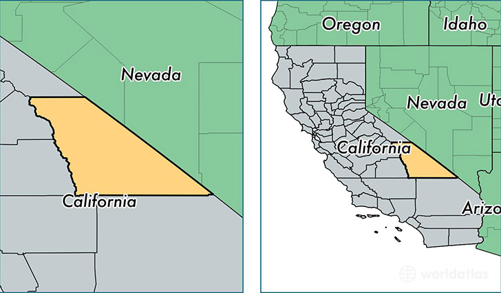
Inyo County is a county equivalent area found in California, USA. The county government of Inyo is found in the county seat of Independence.
With a total 26,487.57 sq. km of land and water area, Inyo County, California is the 26th largest county equivalent area in the United States. Home to 18,410 people, Inyo County has a total 9438 households earning 44796 on average per year.
Inyo County, California offers the following attractions to visitors: Death Valley NP, Manzanar NHS
Inyo County, California - Quick Facts
| FIPS Code | 6027 |
| Area Codes | 760 |
| Time Zone | PST |
| Major Cities | Bishop (population: 13,834), Lone Pine (population: 2,076), Big Pine (population: 1,758), Independence (population: 717), Death Valley (population: 443), Olancha (population: 343), Tecopa (population: 155), Darwin (population: 47), Keeler (population: 46), Shoshone (population: 35) |
| Land Area | 7,108 sq miles |
| Water Area | 10,181 sq miles |
| Household Income | $44,796 |
| Housing Units | 9,438 |
| Median Home Value | $236,100 |
| High School Grads | 88% of population |
| Holders of Bachelors Degrees | 21% of population |
| Retail Spending | $13,876 per capita |
| Food & Accomodation Sales | $91,666 per capita |
This page was last updated on June 30, 2016.