Where is Clark County, Nevada?
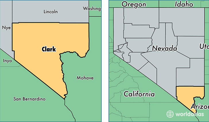
Clark County is a county equivalent area found in Nevada, USA. The county government of Clark is found in the county seat of Las Vegas.
With a total 20,877.62 sq. km of land and water area, Clark County, Nevada is the 41st largest county equivalent area in the United States. Home to 2,069,681 people, Clark County has a total 854089 households earning 52873 on average per year.
Clark County, Nevada offers the following attraction to visitors: Lake Mead NRA
Clark County, Nevada - Quick Facts
| FIPS Code | 32003 |
| Area Codes | 702 |
| Time Zone | PST |
| Major Cities | Las Vegas (population: 1,453,731), Henderson (population: 271,715), North Las Vegas (population: 219,955), Mesquite (population: 16,460), Boulder City (population: 15,447), Laughlin (population: 7,815), Overton (population: 3,815), Logandale (population: 3,696), Jean (population: 2,893), Moapa (population: 1,435) |
| Land Area | 799,108 sq miles |
| Water Area | 7,891 sq miles |
| Household Income | $52,873 |
| Housing Units | 854,089 |
| Median Home Value | $165,000 |
| High School Grads | 84% of population |
| Holders of Bachelors Degrees | 22% of population |
| Retail Spending | $14,509 per capita |
| Food & Accomodation Sales | $24,857,836 per capita |
| Universities and Colleges | The Art Institute of Las Vegas, Marinello School of Beauty, University of Nevada-Las Vegas, ITT Technical Institute-Henderson, University of Southern Nevada |
This page was last updated on June 30, 2016.